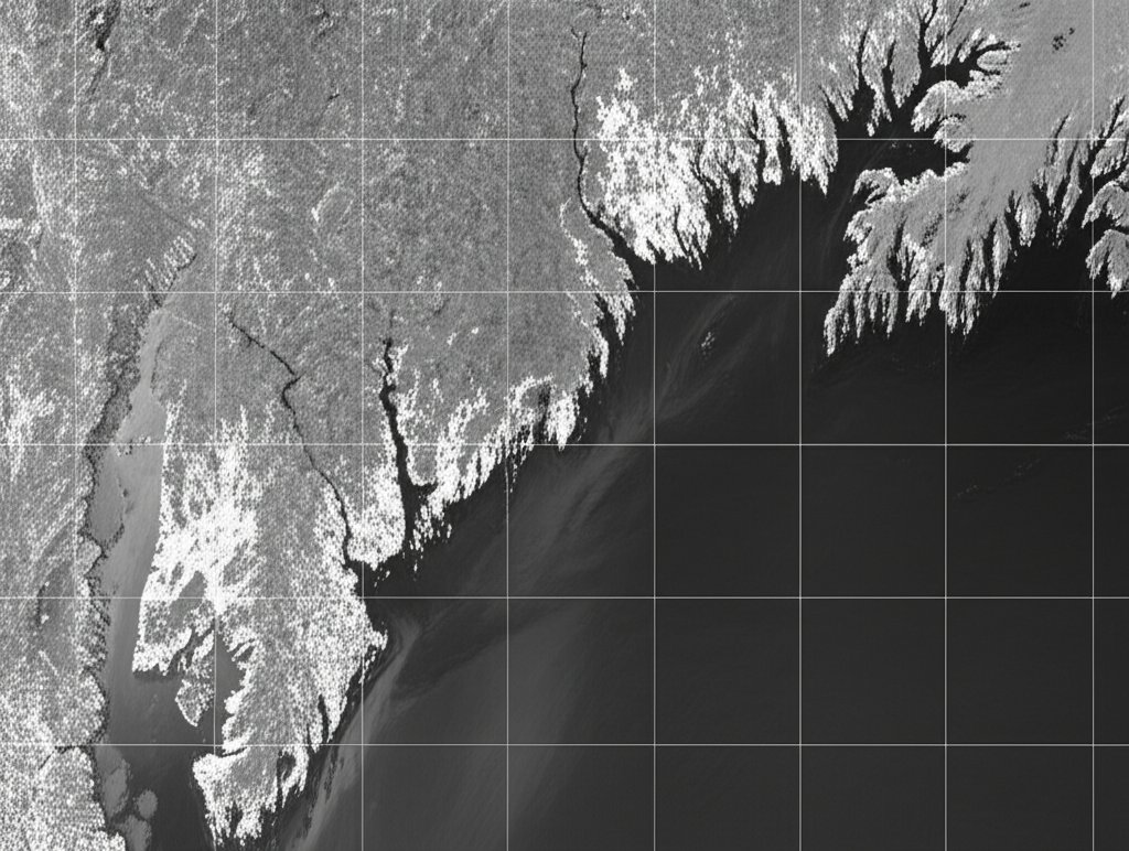
CAPE CANAVERAL, FL – The joint U.S.-Indian NISAR (NASA-ISRO Synthetic Aperture Radar) satellite has released its first radar images of Earth, offering an unprecedented level of detail for scientific observation. The images, made public on Thursday, September 25, showcase the intricate coastline of Maine and the vast agricultural expanses of North Dakota, signaling a new era in Earth mapping and environmental monitoring, according to an Associated Press report.
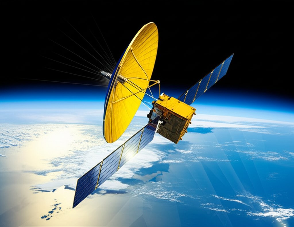
Launched just two months ago from India, the state-of-the-art spacecraft is poised to provide scientists with critical data on some of the planet's most pressing environmental challenges. This successful initial imagery release marks a pivotal moment for the international collaboration, demonstrating the satellite's advanced capabilities.
A New Perspective on Earth's Surface
The initial images have captured the scientific community's attention due to their remarkable clarity and depth. For instance, the Maine coast image delineates not only the shoreline but also subtle topographical features and coastal changes, while the North Dakota farmland imagery offers precise details of agricultural fields, potentially revealing insights into crop health and soil moisture dynamics.
Unlike traditional optical satellites, NISAR utilizes Synthetic Aperture Radar (SAR) technology, which allows it to penetrate clouds, vegetation, and even darkness, providing a consistent view of the Earth's surface regardless of weather conditions or time of day. This capability is crucial for monitoring rapid changes that might be obscured by conventional imaging methods.
The NISAR Mission: A Collaborative Triumph
The NISAR mission represents a significant partnership between NASA and the Indian Space Research Organisation (ISRO). Conceived as one of the most expensive Earth-imaging satellites ever built, its primary objective is to provide comprehensive, high-resolution data on Earth's land and ice surfaces every 12 days. This systematic, repetitive coverage is vital for tracking subtle shifts and long-term trends across the globe.
"The release of these first images is a testament to years of dedicated work and international cooperation," stated a NASA spokesperson during the announcement. "NISAR is not just a satellite; it's a global observatory that will fundamentally change our understanding of our planet's evolving systems." ISRO officials echoed this sentiment, highlighting the mission's importance for both scientific advancement and practical applications.
Revolutionizing Climate and Disaster Monitoring
The data collected by NISAR will be instrumental in a wide array of scientific fields. Its ability to detect millimeter-scale changes in Earth's surface will provide invaluable insights into:
- Climate Change Impacts: Monitoring ice sheet melt rates, sea level rise, and changes in permafrost.
- Natural Disasters: Tracking ground deformation before and after earthquakes and volcanic eruptions, and assessing flood and landslide risks.
- Ecosystem Dynamics: Observing changes in forest biomass, wetland ecosystems, and agricultural land use, crucial for food security and biodiversity.

The precision offered by NISAR's L-band and S-band radar will allow scientists to create detailed maps of these dynamic processes, enabling more accurate predictions and better-informed policy decisions. This continuous flow of data is expected to support global efforts in climate resilience and disaster preparedness.
What's Next for NISAR?
With the successful deployment and initial imaging, NISAR is now transitioning into its full operational phase. Over the coming months and years, the satellite will begin delivering a steady stream of data to scientists worldwide, contributing to a deeper, more holistic understanding of Earth's interconnected systems.
Researchers are already anticipating how NISAR's data will complement information from other satellites, creating a more complete picture of planetary health. The mission underscores the growing importance of international collaboration in space exploration and Earth science, proving that complex global challenges are best addressed through shared knowledge and advanced technology.